How to Read Internet Coverage Maps (and What They Don’t Tell You)
When you’re trying to find the best internet provider in your area, one of the first things you’ll likely do is check an internet coverage map. On the surface, these maps look like a straightforward way to figure out which providers are available where you live — but if you’ve ever signed up for a plan only to discover that the “coverage” wasn’t what you expected, you know they don’t always tell the full story.
In this guide, we’ll break down how to read internet coverage maps, what those colorful zones actually mean, and what these maps often leave out. We’ll also show you how to use free tools and resources to verify whether the coverage in your area matches what’s advertised.
Understanding What Internet Coverage Maps Actually Show
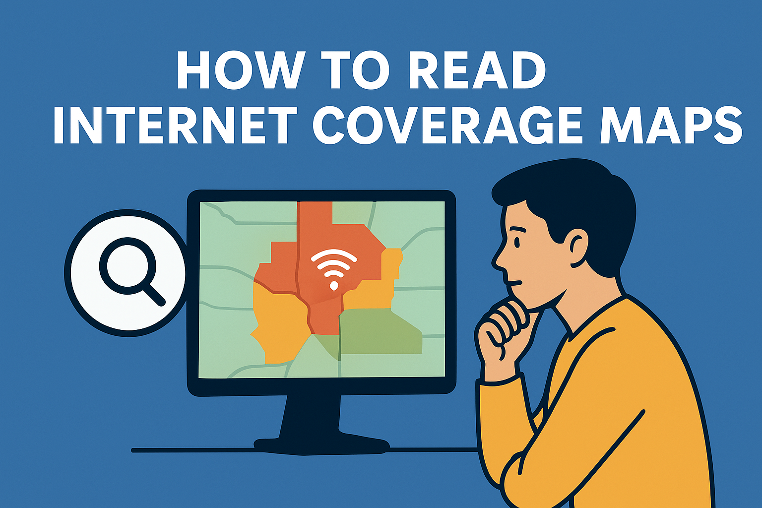
Internet coverage maps are designed to give you an overview of which ISPs (Internet Service Providers) operate in specific areas. The maps are typically color-coded — each color representing a particular provider or type of connection (fiber, DSL, cable, satellite, etc.).
Most maps in the U.S. rely on data from the Federal Communications Commission (FCC), which collects information from internet providers. Providers report the ZIP codes, census blocks, and regions where they offer service. The FCC then compiles that data into a nationwide map that shows which providers claim to serve which areas.
However, “coverage” on these maps doesn’t always mean “service available at your exact address.” Often, coverage is indicated at the census block level — meaning that if just one home in that area can access a provider’s network, the entire block is marked as covered.
That’s one of the biggest reasons people get frustrated: coverage maps show general availability, not guaranteed accessibility.
The Main Types of Coverage Maps
When browsing internet availability, you’ll come across different types of maps — each offering varying levels of accuracy and detail.
1. Provider-Specific Maps
Each major internet provider in the U.S. — such as AT&T, Xfinity, Spectrum, and Verizon — maintains its own coverage map. These maps highlight where their service is available based on internal data.
You can check these directly on their websites, but keep in mind: these maps often err on the side of optimism. They may show coverage in neighborhoods where installation is technically possible but not yet active.
If you want a more accurate overview of local providers, try using this internet provider search tool. It aggregates multiple providers’ data to help you find which ISPs are actually available in your ZIP code.
2. FCC Broadband Map
The FCC Broadband Map is the government’s official record of where broadband is available. It allows you to search by address and view reported speeds and connection types.
While this is a valuable resource, it still depends heavily on provider self-reporting. The FCC has improved transparency in recent years, but inaccuracies remain — particularly in rural and underserved communities.
If you notice that your area is listed as “covered” but you can’t get service, you can even challenge the FCC’s data. This helps improve the map for others and encourages providers to update their records.
3. Third-Party Comparison Maps
Websites that compare providers often use multiple data sources — FCC data, provider databases, and user submissions — to build more accurate maps. These tend to be more reliable for consumers.
For example, the provider finder tool can show you a list of internet options based on your exact location. It’s a helpful way to cross-check what coverage maps show versus what’s truly available for installation.
What Internet Coverage Maps Don’t Tell You
Even the most detailed coverage map has limitations. Here are some key things these maps don’t always reveal:
1. Real-World Speed and Performance
A map might show your neighborhood as “covered by fiber,” but that doesn’t guarantee you’ll get gigabit speeds. Actual internet performance depends on local infrastructure, network congestion, and how close you are to the provider’s equipment.
To get a real sense of your current speed, you can run a quick internet speed test. It measures your download, upload, and latency rates — helping you understand whether your service matches what’s advertised.
2. Connection Reliability
Coverage maps show where service exists, not how well it performs. Two homes in the same coverage area can experience very different reliability depending on signal strength, line quality, and network maintenance.
For instance, DSL connections can degrade over distance, while cable networks can slow down during peak hours if many users share the same line.
3. Hidden Fees and Service Availability
Maps don’t show where providers require installation fees, equipment rentals, or limited-time promotional pricing. They also don’t account for factors like building restrictions (in apartments or HOAs) that may prevent you from installing certain types of connections.
It’s always a good idea to contact the provider directly to confirm installation availability before signing a contract — especially if you’re in a newly developed or rural area.
4. Outages and Maintenance Zones
Coverage maps won’t warn you about recurring outages or maintenance work that can temporarily affect your service. Checking local outage reports and community feedback can help you spot patterns before committing to a provider.
How to Accurately Check Internet Availability Near You
If you want to go beyond what a coverage map tells you, here’s a step-by-step approach to verifying availability and getting the best service for your home:
Use a Localized Provider Search Tool:
Start by entering your ZIP code into an internet provider search platform. This instantly shows you which ISPs serve your address, including available speeds and plan types.Compare Provider Plans:
Once you have a list of local options, compare their speeds, pricing, and customer reviews. You can use this provider comparison tool to check which plans offer the best value in your area.Run a Speed Test:
After installation, use a free speed test to ensure you’re getting what you’re paying for. This helps identify performance issues early and gives you leverage if you need to contact customer support.Ask Neighbors or Local Groups:
Local Facebook or Nextdoor groups often discuss which providers actually deliver consistent service. Real-world feedback can be more valuable than official maps.Check for New Infrastructure:
Providers frequently expand coverage, especially as fiber and 5G grow. Even if a provider isn’t available today, checking back every few months can pay off — especially if you’re in a growing suburb or rural area.
Why Coverage Maps Still Matter (Even with Their Flaws)
Despite their limitations, coverage maps are still useful tools for getting a broad understanding of what’s available in your region. They help policymakers identify underserved areas, guide infrastructure investments, and allow consumers to explore their options quickly.
Just remember: a coverage map is a starting point — not the final answer. Combining map data with local feedback, independent tools, and personal testing gives you a far clearer picture of your true internet options.
Final Thoughts
Learning how to read internet coverage maps — and understanding what they don’t tell you — can save you from the frustration of signing up for a plan that doesn’t meet your expectations.
Before making any decisions, take the time to cross-check multiple sources: use the search tool to find providers in your area, review plans through the provider directory, and confirm your speeds with a quick internet speed test.
With the right information and a little research, you’ll be able to choose an internet provider that truly fits your home, your budget, and your lifestyle — not just what the map claims to show.
Related Posts

Tue, Dec 2, 2025 3:31 AM
SafetyHow to Keep Your Kids Safe Online Today
A clear, parent-friendly guide on protecting kids online. Learn essential digital safety habits, social media precautions, password protection, and practical tips for raising safe and confident young internet users.

Tue, Dec 2, 2025 1:29 AM
Internet BundlesChoosing the Best Type of Internet for your Business
Explore the best types of business internet, from cable and DSL to fiber and fixed wireless. Learn how to choose a fast, reliable connection that supports productivity and long-term business growth.

Mon, Dec 1, 2025 6:35 AM
Internet Bundles Technology WifiAffordable Fixed Wireless Internet: What You Need to Know
Discover how fixed wireless internet works, its benefits and limitations, and why it’s becoming a top choice for homes and businesses.

Mon, Dec 1, 2025 5:21 AM
Internet BundlesThings to Watch Out For in a Cheap Unlimited Mobile Data Plan
Discover how to choose the best cheap unlimited mobile data plan. Learn about data speeds, deprioritization, hidden fees, coverage, hotspot limits, and more.

Fri, Nov 28, 2025 11:17 PM
cheap internet dealsThe Ultimate Guide to Internet Bandwidth
Learn how internet bandwidth works, how to optimize upload and download speeds, and get fast, reliable performance for your home network.